
WAAS / SBAS
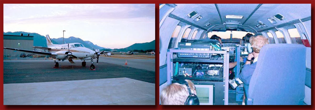
Satellite Based Augmentation Systems (SBAS) augment GNSS, enabling planes to make precision approaches and landings. The Wide Area Augmentation System (WAAS) is the U.S. implementation of SBAS. SBAS combines core constellation satellites with geostationary satellites and ground-based reference stations to monitor satellite ranging errors. Satellite ranging errors include: ephemeris, clock, ionosphere, troposphere, multipath & receiver noise. For more information see the WAAS Wikipedia article.
Stanford's research in this area started in the early 1990's. After many years of research and an arduous certification process, WAAS/SBAS was FAA certified for commercial aviation use in 2003. The system is designed to provide meter-level positioning accuracy and +/- 35m real-time error bounds with 6-sec time-to-alarm. The system has performed flawlessly since 2003.
Stanford is continuing to support the FAA with sustaining engineering, refinements and enhancements.
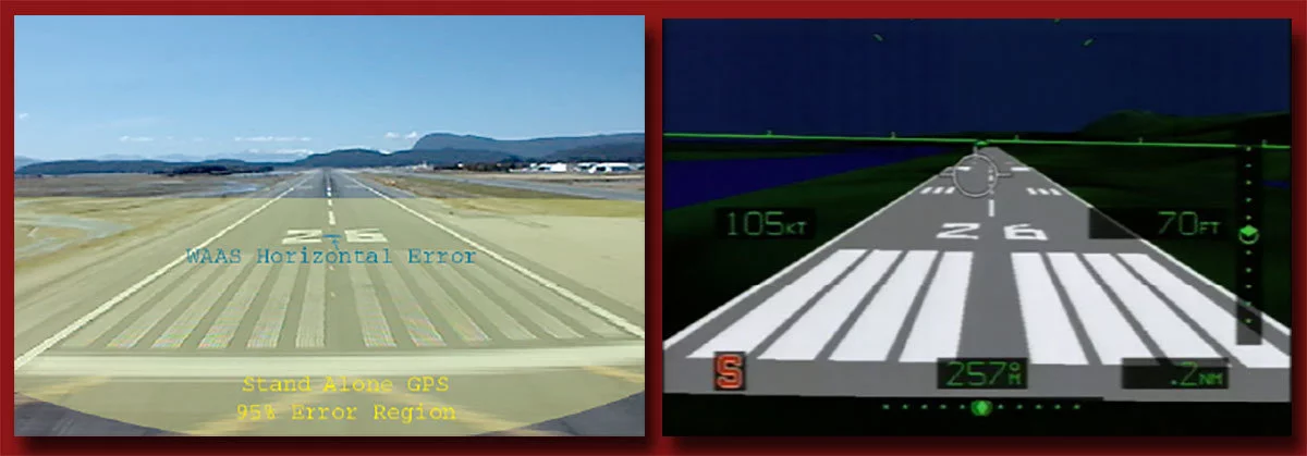
More Information about WAAS
Videos

Papers and Presentation Files
- View PDF paper: Development of Satellite Navigation for Aviation (FAA Award No. 95-G-005) – Technical Description of Project and Results , Stanford University, June 2009
- View PDF paper: Maximizing Aviation Benefits from Satellite Navigation (FAA Award No. 08-G-07) – Technical Description of Project and Results , Stanford University, November 2012
WAAS Metrics Files & Stanford Triangle Charts
For information about generating Stanford Triangle Charts using Matlab, view/download PDF paper: Validation of the WAAS MOPS Integrity Equation , Todd Walter, Andrew Hansen, and Per Enge, Stanford University, 1999.
Download a ZIP archive of the WAAS Metrics Utilities folder. This folder contains four Matlab scripts—bound.m, bound2.m, hplstat.m and vplstat.m—for generating Stanford triangle charts.